Tag: digital
Announcing the Launch of KYP Devon! Now available online
Putting Devon on the Map KYP Devon: We are delighted to announce that Know Your Place Devon is now available online. The inclusion of Devon in this project will enable people to access historic maps online for the first time and enable them to explore how their local area has changed over time.
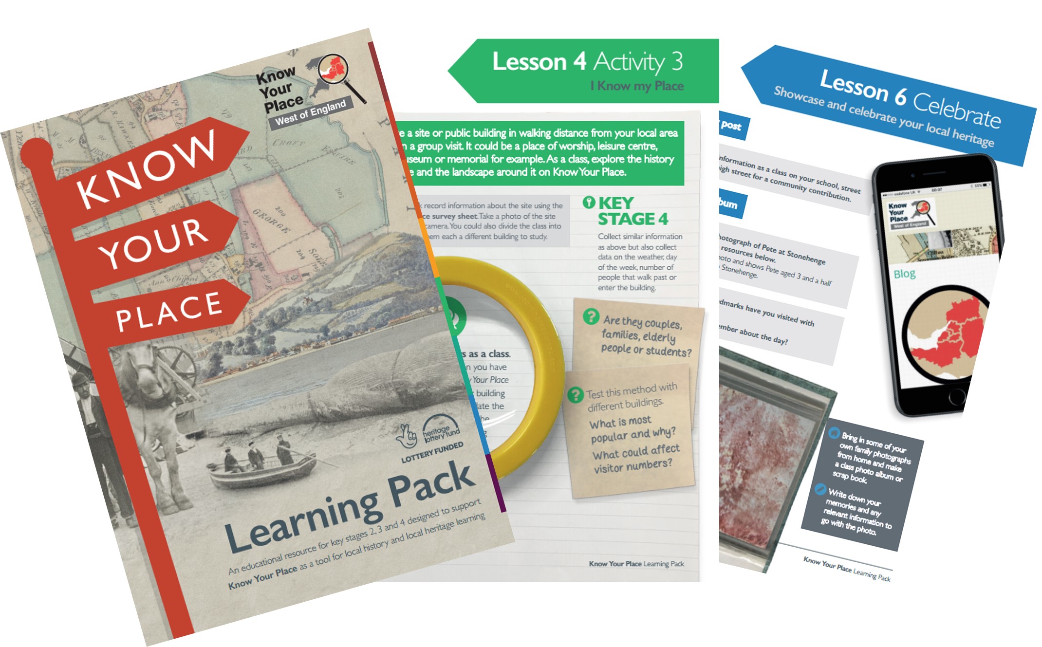
Now available: Know Your Place learning pack!
Take a look at our NEW learning pack and the fabulous world of historic maps! An educational resource for key stages 2, 3 and 4 designed to support Know Your Place as a tool for local history and local heritage learning in schools, community groups and educational facilitates across the West of England. The pack […]
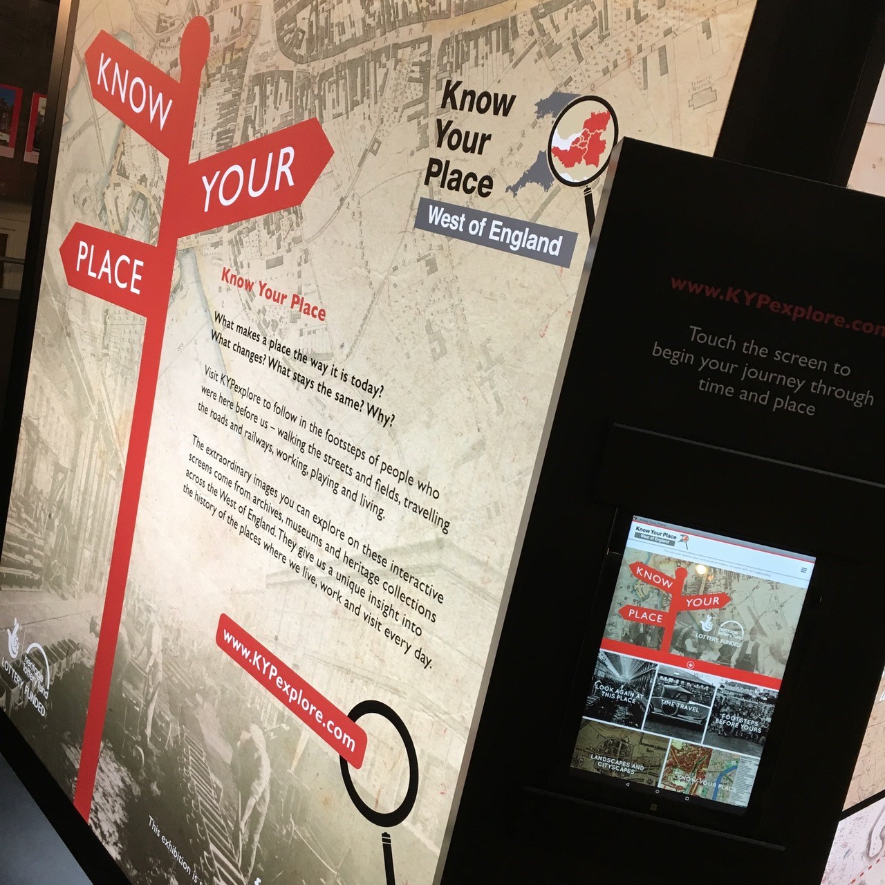
Digital Exhibition touring West of England to help Know Your Place
Announcing the launch of our digital touring exhibition Have you ever wondered what makes a place the way it is now? Or wished you could travel back in time and discover how an area has changed? KYPexplore is a cutting-edge digital exhibition giving an insight into the history of the places where we live, work […]
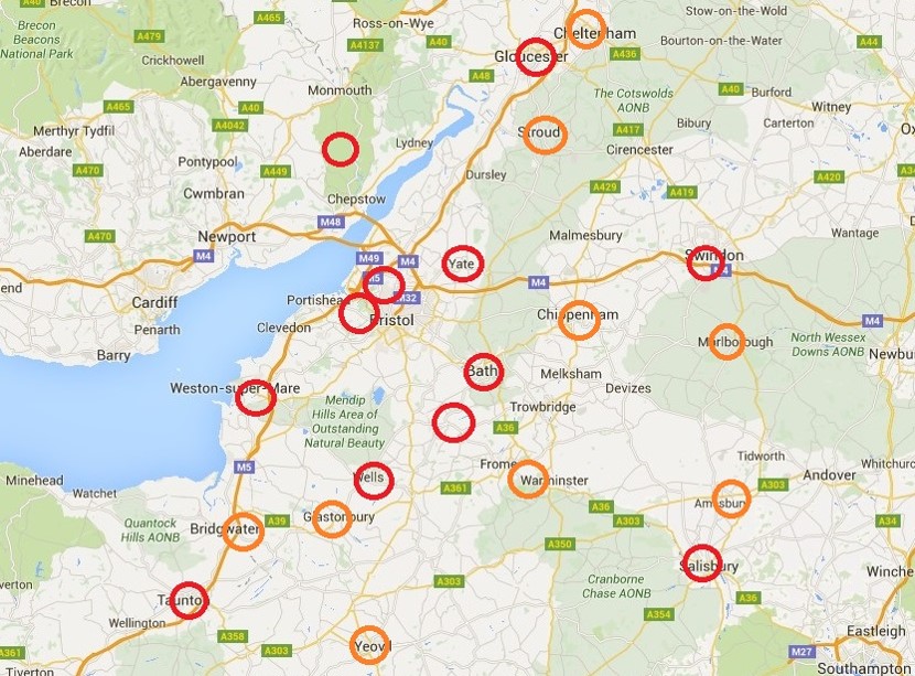
Showing off the Best of the West: Plans for our Touring Exhibition
Sharing our plans for the touring exhibition. Since June we have been working with our appointed exhibition designers – Hotrod Creations and City Insights – to develop ideas for the exhibition, work out what will go in it and decide where it will travel. What we want the exhibition to do The aims of our exhibition are very similar […]
Swans Maps & Project news: Update 6th JULY 2016
July Project News It’s July already? Just where has the time gone? We’re pleased to update you on what we’ve been up to over the past few weeks. Happy Anniversary! It’s celebrations all round, with Know Your Place Bristol recently passing its 5th birthday, and the Know Your Place – West of England project turning 1 […]

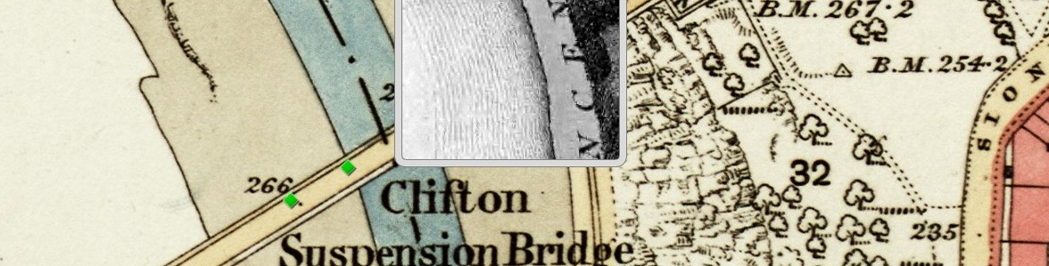
What makes the Cut? Choosing maps for Know Your Place
Peter Insole reveals the selection criteria for maps added onto Know Your Place. Know Your Place (KYP) was created in 2011 with funding from English Heritage (now Historic England) with the intention of sharing as much information about the history of Bristol as possible. One of the main historic sources we wanted to make available […]

New Tools from Old Maps: digitising Ordnance Survey mapping
by Dr. Philip Hatfield, Lead Curator, Digital Maps, British Library The British Library (http://www.bl.uk) is in a process of change. After centuries of collecting material in printed form the Library now looks to acquire and store for the long term increasing amounts of content in digital formats. Why is this? Well, for maps most content […]