March 2016

What makes the Cut? Choosing maps for Know Your Place
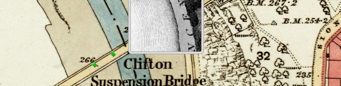
Peter Insole reveals the selection criteria for maps added onto Know Your Place. Know Your Place (KYP) was created in 2011 with funding from English Heritage (now Historic England) with the intention of sharing as much information about the history of Bristol as possible. One of the main historic sources we wanted to make available […]
New Tools from Old Maps: digitising Ordnance Survey mapping
by Dr. Philip Hatfield, Lead Curator, Digital Maps, British Library The British Library (http://www.bl.uk) is in a process of change. After centuries of collecting material in printed form the Library now looks to acquire and store for the long term increasing amounts of content in digital formats. Why is this? Well, for maps most content […]