Tag: British Library

New Tools from Old Maps: digitising Ordnance Survey mapping
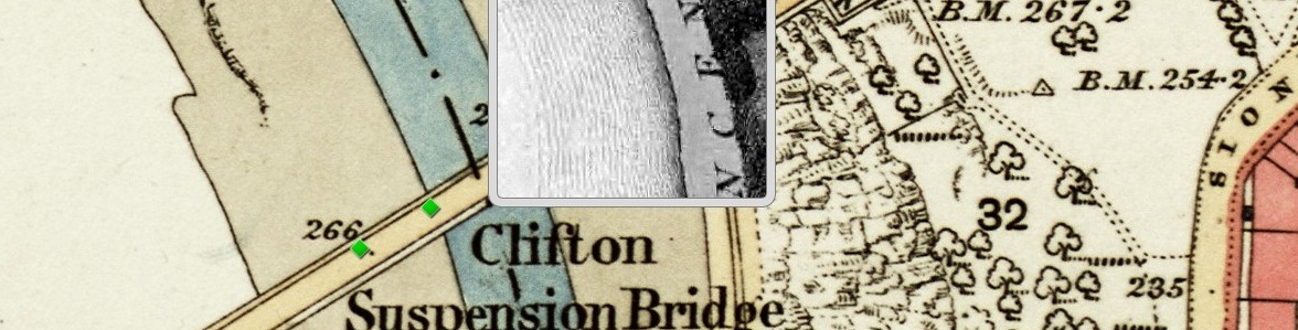
by Dr. Philip Hatfield, Lead Curator, Digital Maps, British Library The British Library (http://www.bl.uk) is in a process of change. After centuries of collecting material in printed form the Library now looks to acquire and store for the long term increasing amounts of content in digital formats. Why is this? Well, for maps most content […]
Who Left That Hole There? The pitfalls of digitisation
by Dr. Philip Hatfield, Lead Curator, Digital Maps, British Library Providing increasing amounts of historic content online is an important part of what modern collections do. The reasons for this are simple, digitisation allows collections to be used in different ways and, perhaps most importantly, makes the information they contain available to users who […]