Puzzling jigsaws – creating the Know Your Place map layers
This is the first of two posts explaining how we are assembling and publishing the Know Your Place maps layers.
If you have a look at the 25” Ordnance Survey maps on Know Your Place you’ll see an almost seamless layer of lots of regular-shaped map sheets, neatly lined up. If you zoom out you’ll see slight variation in the colour of the sheets – it looks like a very orderly mosaic. Our partner at the British Library, Phil Hadfield, has written about how the British Library is producing and supplying us with these sheets.
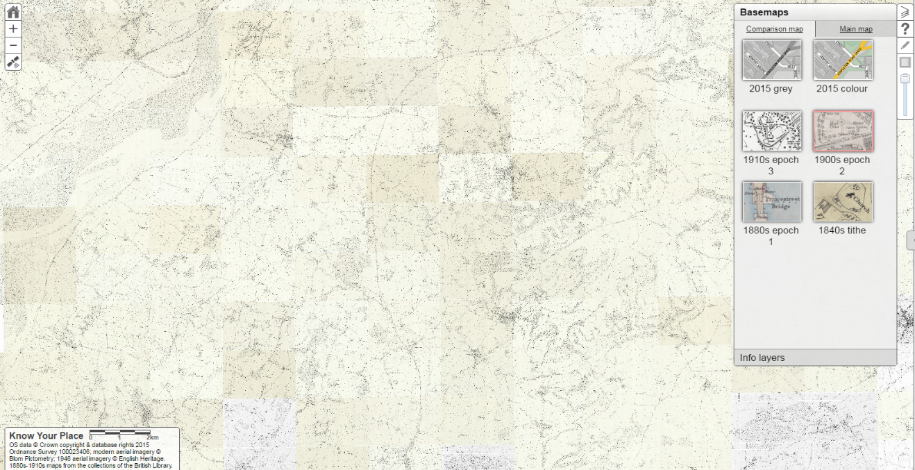
Know Your Place Ordnance Survey 2nd Edition zoomed out and centred on North Nibley, Gloucestershire.
Have a look at some of the other map layers though and the picture is a bit different. Instead of a neat mosaic the layer looks more like a jigsaw puzzle – one with very odd-shaped or missing pieces. These layers have been created by us, with the help of volunteers, and show maps held at county record offices and regional archives.
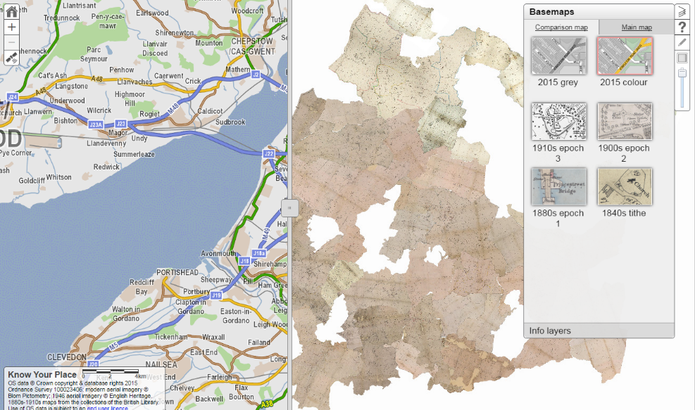
South Gloucestershire Know Your Place showing modern mapping on the left and the tithe maps layer on the right.
We are creating the layers for tithe maps, enclosure maps, and ‘other maps’ (our helpful working title for individual maps particular to certain places i.e. city plans, estate maps etc.). It’s a massive job involving bespoke and open source computer software, a small army of volunteers, hundreds of hours work and, of course, several thousand digital map images.
From July to December last year, ICAM Archive Services set up their Atlas camera rig at Wiltshire and Swindon History Centre, Gloucestershire Archives, and Somerset Heritage Centre, and photographed over 1,500 maps for the project. The completed images were transferred to the project in stages from autumn 2015 to spring 2016. This was no small task in itself – the images were captured in high resolution TIFF format and many of the maps comprise several sheets – the resulting data are more than 1TB in size.
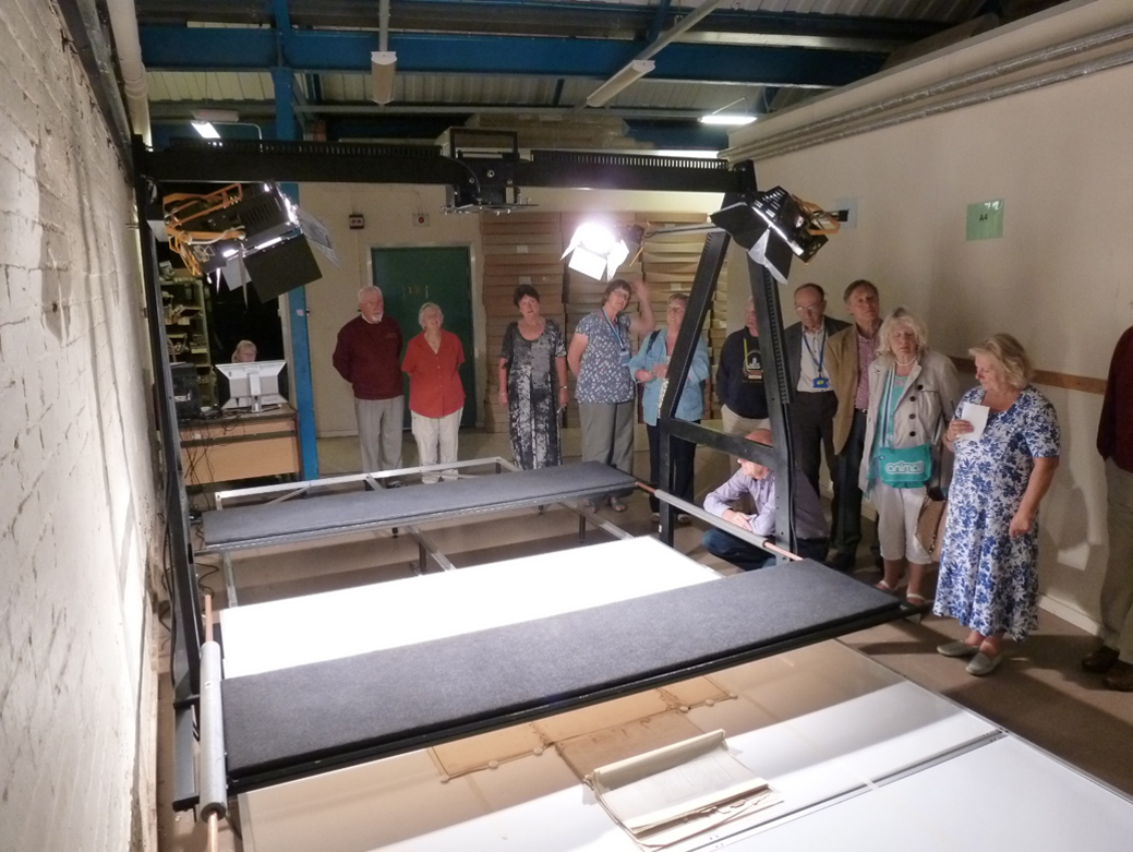
Visitors look on as ICAM demonstrate their Atlas camera rig during an open day at Gloucestershire Archives, September 2015.
Once the map images have been checked at KYP HQ they are sent out to our volunteers across the region. The volunteers prepare the images in two stages for uploading onto the Know Your Place website. The first stage involves editing the map image by cropping to the map boundaries, effectively creating one of the jigsaw puzzle pieces for a layer.
Our volunteers use open source software (Paint.net or GIMP) and work on their own computers at home. The cropping isn’t always a straightforward process as judgements have to be made as to what to keep in and what to crop out. Tithe maps usually, but by no means always, depict parishes. Enclosure maps were drawn to show land subject to a private enclosure act and therefore may just show individual parcels of land or a particular part of a parish.
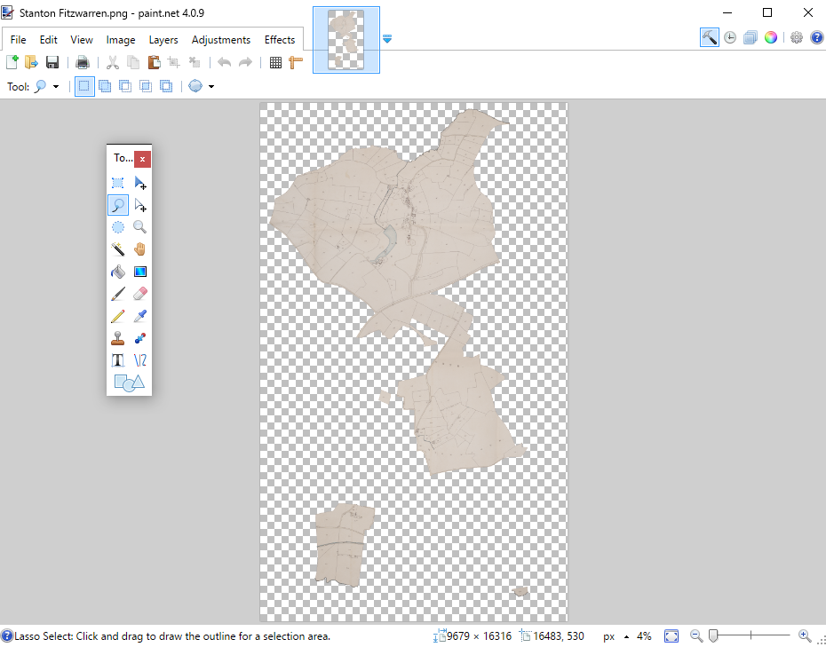
The tithe map for Stanton Fitzwarren, Wiltshire, is cropped using Paint.net. There are several areas of land to the south that paid tithing to this parish but were located within neighbouring parishes.
The volunteer cropping work began in November 2015 and is ongoing. Over half of the circa 1500 maps have now been completed – the result of a great many hours of patience and dedication. But this is only the beginning, the map images still have to be georeferenced. What’s that? Read the next post to find out…