Tag: mapped
Preparing records to share on Know Your Place
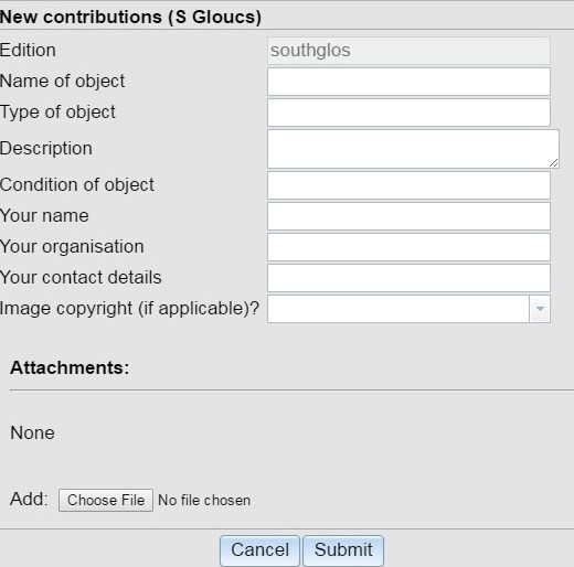
In Top Tips this time we turn our attention to growing the Know Your Place map in a different way – by adding to the Community Layer. Putting your information on the Map With seven counties now mapped onto Know Your Place – and extra map layers being added soon – its time we […]
Volunteers Newsletter – October 2016
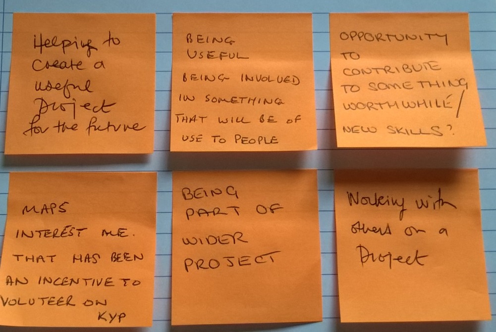
Dear volunteers, Welcome to your latest newsletter, updating on all volunteer work and news from the Know Your Place – West of England project. This Month’s Progress During September you’ve sent back 40 cropped maps and 71 georeferenced maps – making a good dent in our work remaining to be done. We are now close […]
Announcing the launch of Know Your Place in Wiltshire, Bath & NE Somerset and Gloucestershire
Know Your Place project puts three more counties on the map For the first time, historic maps and heritage data of Wiltshire, Gloucestershire, and Bath and North East Somerset are now freely available online in one place, thanks to the latest expansion of Know Your Place West of England. From Stonehenge to Swindon, Keynsham to the Cotswolds, Salisbury plain to […]
Project Update: 4th May 2016
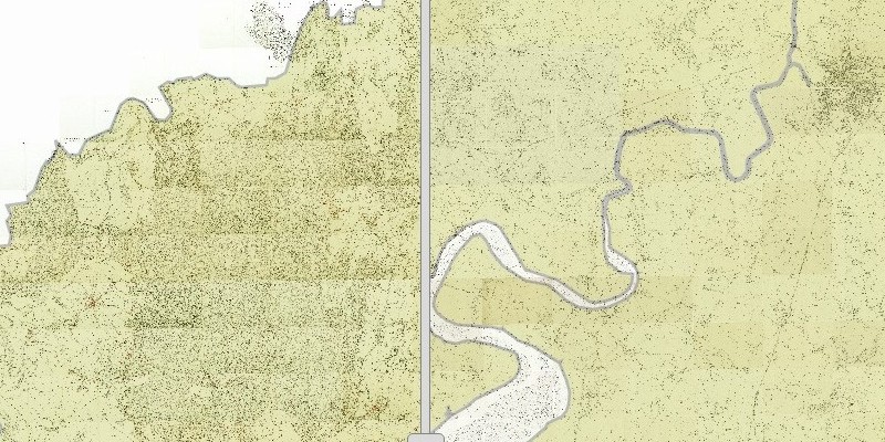
The Know Your Place team is pleased to update you with our latest project news. Wiltshire & Gloucestershire Know Your Place next Work is now underway to build test websites for the Wiltshire and Gloucestershire Know Your Place, bringing with it an estimated 6480 square kilometres’ additional coverage of historic maps and heritage data mapped […]